
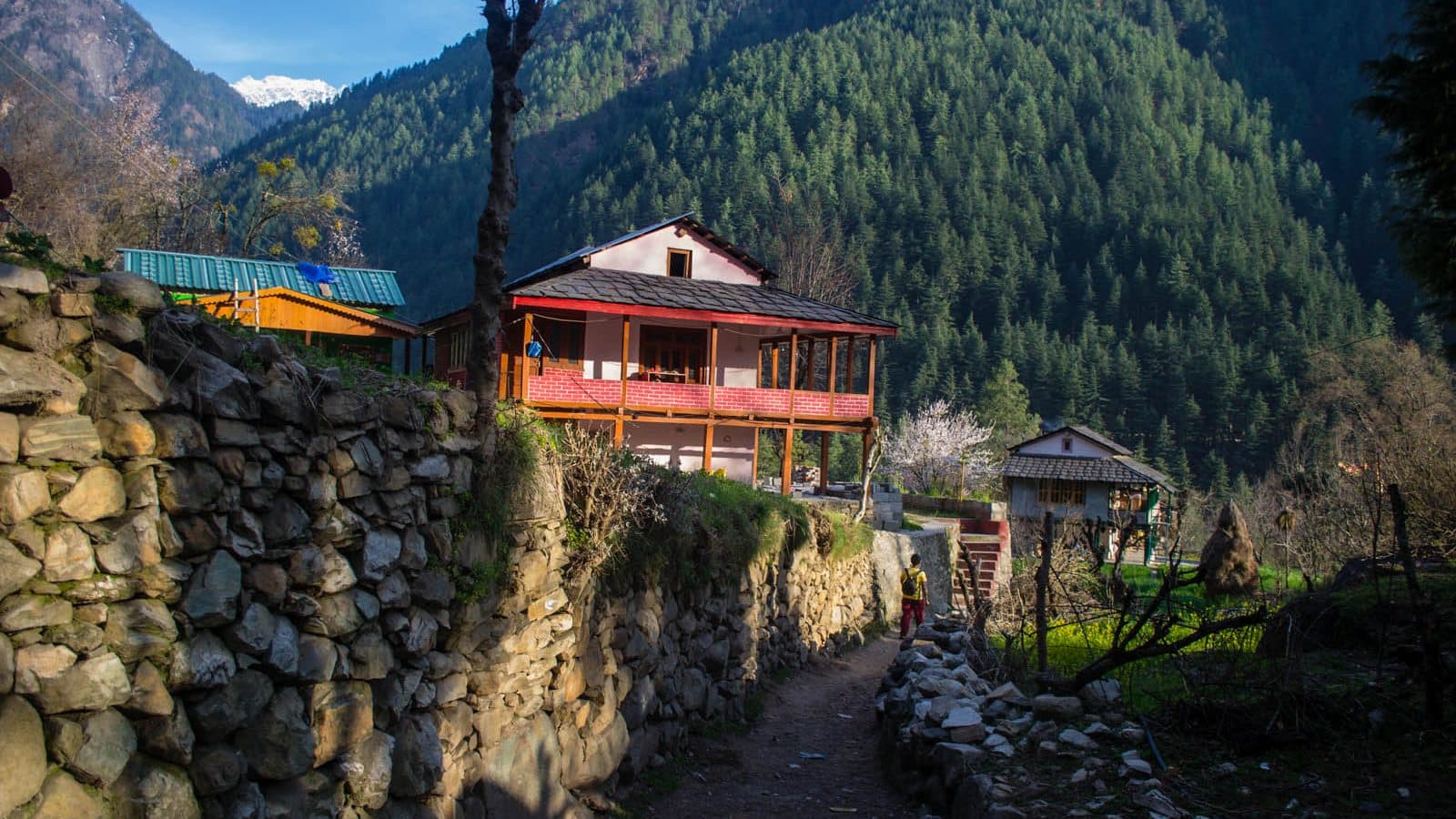
Chalal: A Field Note
Existing published material is too limited to support a detailed history or current access guide to Chalal. This field note keeps those gaps visible.
A field note on what the available record can—and cannot—say about Chalal.
The Journey
A map can place a village on a page; it cannot tell us what a place means to the people who live there. For Chalal, the public record reviewed for this edition is not yet strong enough to support the familiar details repeated in travel listings: exact walking times, route conditions, settlement history or customs.
That absence is not an invitation to decorate the gap. This field note marks the point where published material runs out and reporting should begin: with current local guidance, a verified route source and conversations undertaken with residents' consent.
Reporting needed
OpenStreetMap is community-contributed mapping and is cited only to locate Chalal. It does not establish route access, safety, altitude or local practice. Verify those matters through current local sources and consent-based field reporting before expanding this chapter.
Sources for this chapter
Questions Yatris Ask
Related Chapters
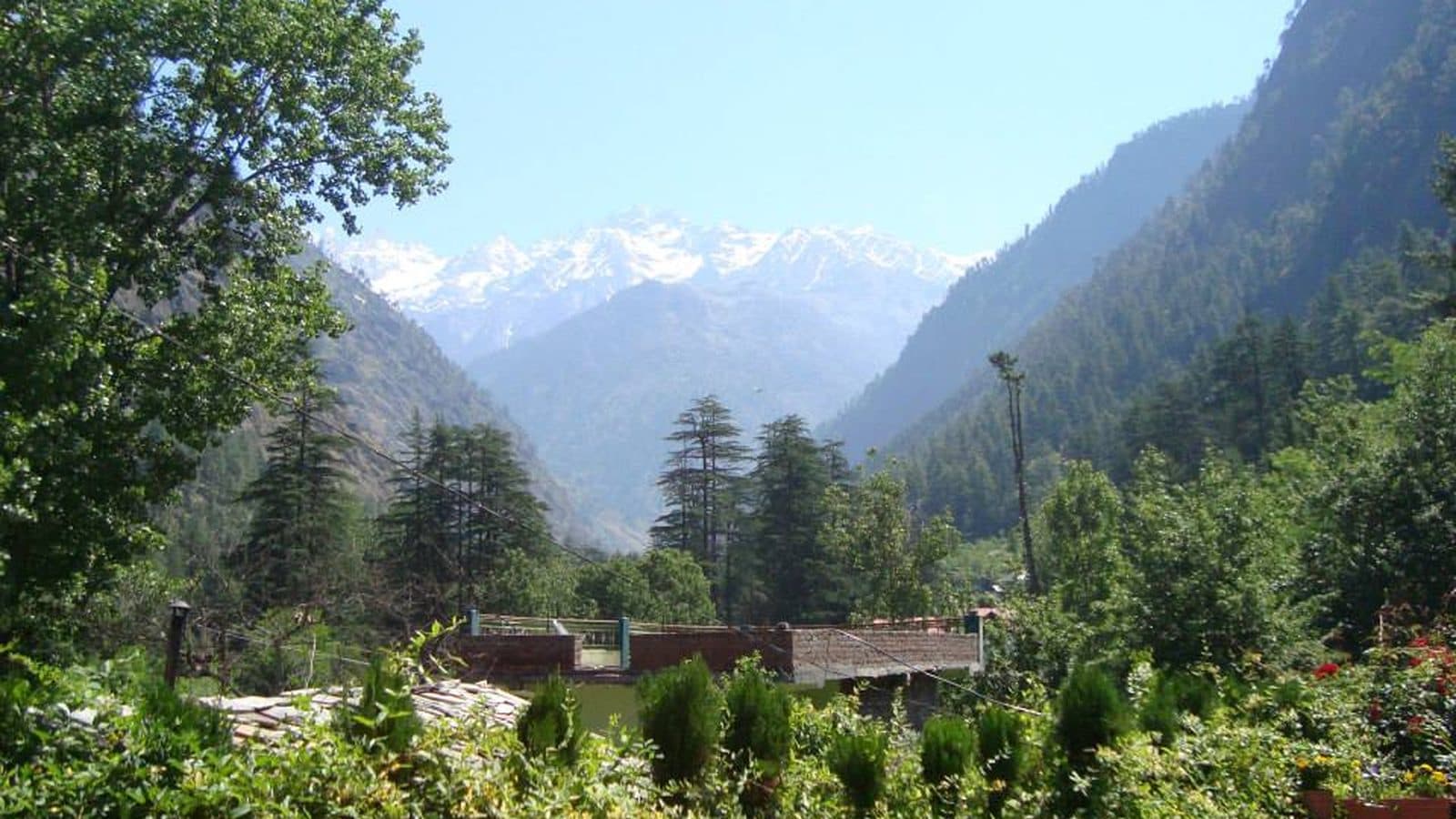
Kasol: A Gateway with Its Own History
Kasol became a familiar gateway to Parvati Valley through decades of travel and tourism. Its history is one chapter in a region of distinct places.
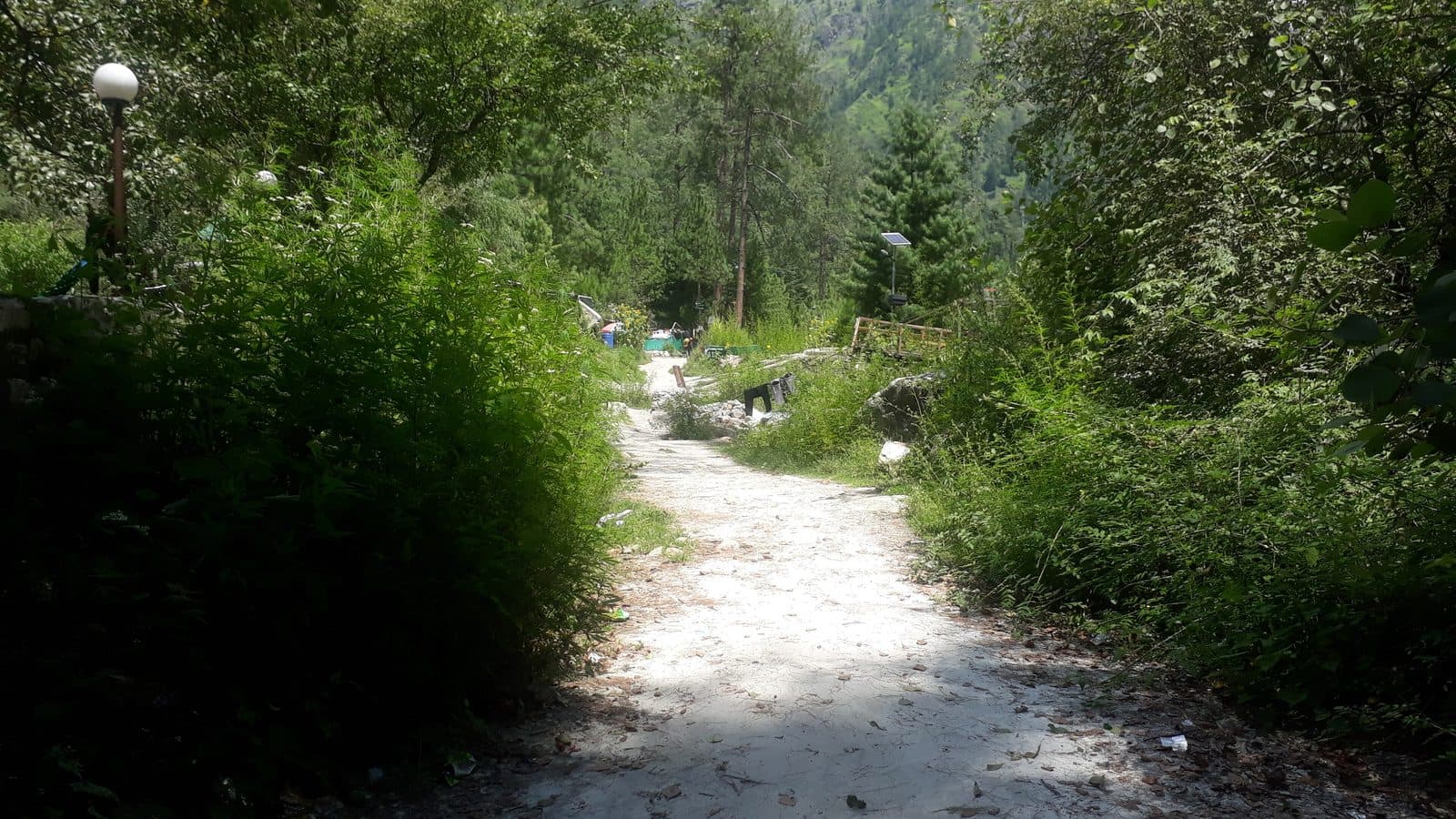
Rasol, The Remote Mountain Village
Rasol sits high above Chalal, reached by a genuinely demanding climb, and rewards the effort with wooden houses that have stood far longer than the trend that now brings visitors to see them.
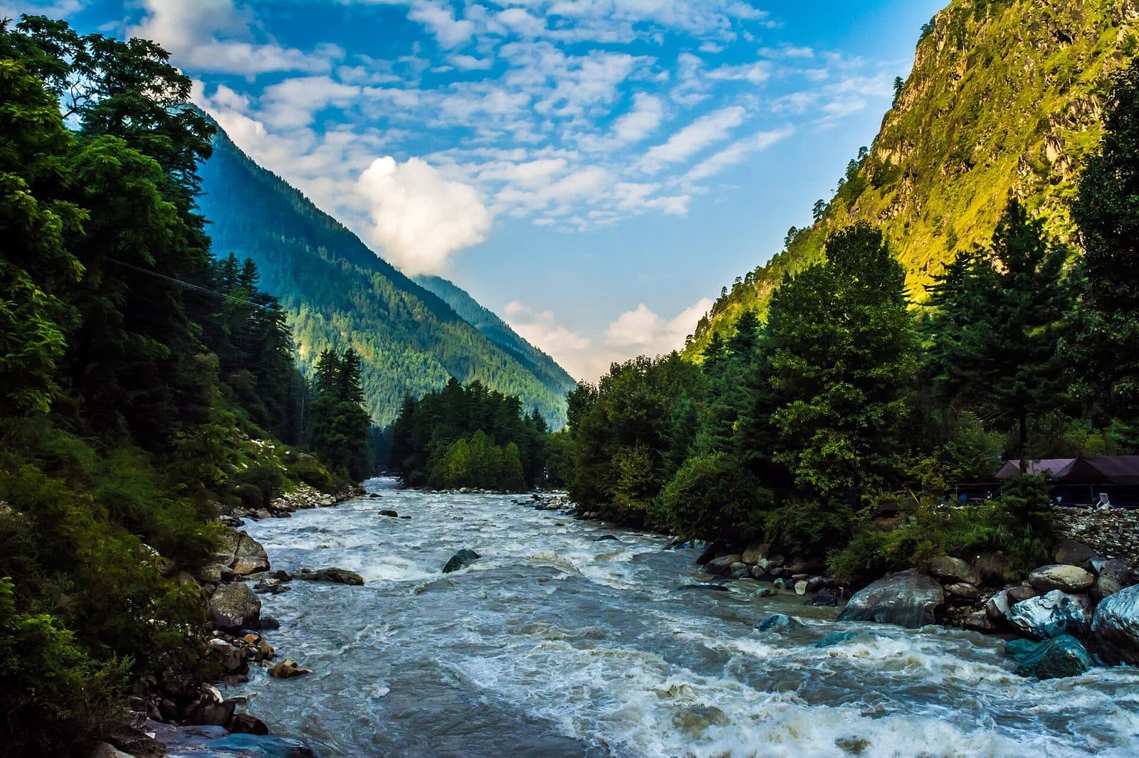
Related Places
Kasol: A Gateway with Its Own History
Kasol became a familiar gateway to Parvati Valley through decades of travel and tourism. Its history is one chapter in a region of distinct places.
Rasol, The Remote Mountain Village
Rasol sits high above Chalal, reached by a genuinely demanding climb, and rewards the effort with wooden houses that have stood far longer than the trend that now brings visitors to see them.
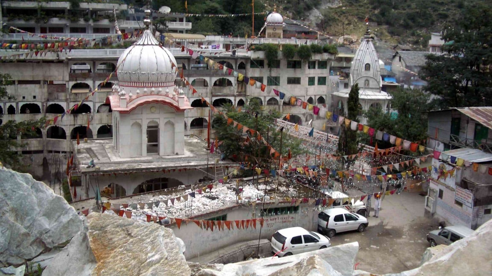
“A field note should show the edge of the map, not pretend it has crossed it.”
Photograph acknowledgements
Travelling Slacker / CC BY 4.0 via Wikimedia Commons. Displayed with a responsive crop. Photograph source. Licence terms.
Walk this chapter with awareness
Chalal, Parvati Valley is a living landscape of villages, shrines, forests, and weather that turns quickly. Move softly, ask before you photograph faces or temples, support local homes, and carry back everything you carry in. The mountain remembers a respectful guest.
Read the Yatri CodeThe Himalayas are not asking to be visited.They ask to be understood.
Learn the trail, its people, and its silences before you set out, then walk this chapter with awareness.